
Image Credit: NASA/ESA
|
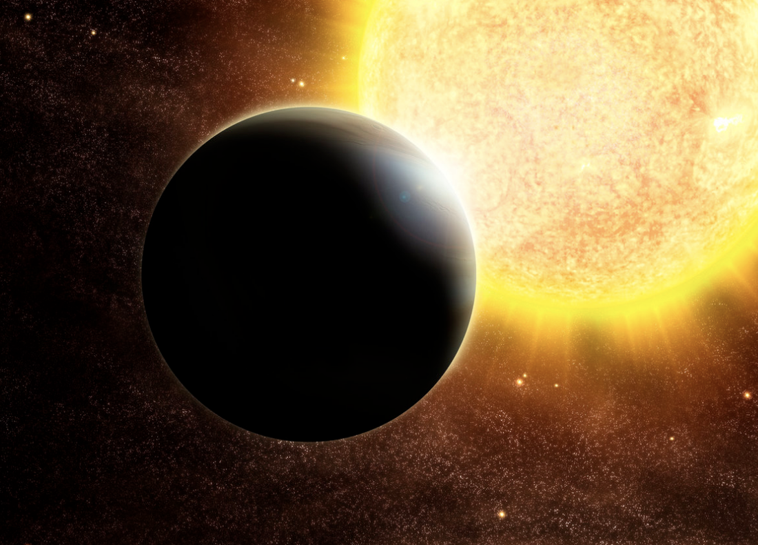
Exoplanet Atmospheres
The growing number of known planets outside of our solar system (>5,000) allows us to consider population-level trends in their properties and formation histories. My primary PhD research focuses on modeling the atmospheres of these planets (exoplanets). I use these models to fit data from space telescopes - JWST, Hubble, and Spitzer.
Exoplanet observations with spectroscopy data can tell us a lot about a planet's composition and climate, but inferring this information requires data-model comparisons. With modeling, we can produce thousands of planets with specific properties to predict population-level trends and compare them to data. This helps us to more deeply understand the physics at play in atmospheres, and to optimize observational follow-up. |

Image Credit: NASA/JPL
|
Science Mission Formulation
|
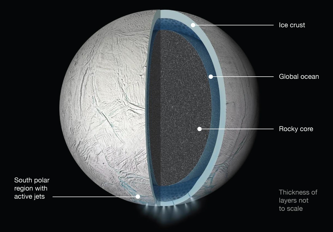
Image Credit: NASA
|
Enceladus Surface Features
Smithsonian National Air and Space Museum - Center for Earth and Planetary Science, PI: Dr. Emily Martin
The surface of Enceladus, a moon of Saturn, is covered in "pit chains." Chains of pits form in surface regolith (loose material) along cracks, and by measuring their depths we can produce a global map of regolith depth. That map, along with the positioning of pit chains, can provide information about Enceladus' formation history and its continued activity. Link to Publication
|
